
Sandy and Muddy Shore Marine metre2 Survey >
Identify and count the marine animals and plants in a metre2 area on the sandy/muddy shore. Suitable for all levels.
Learn more
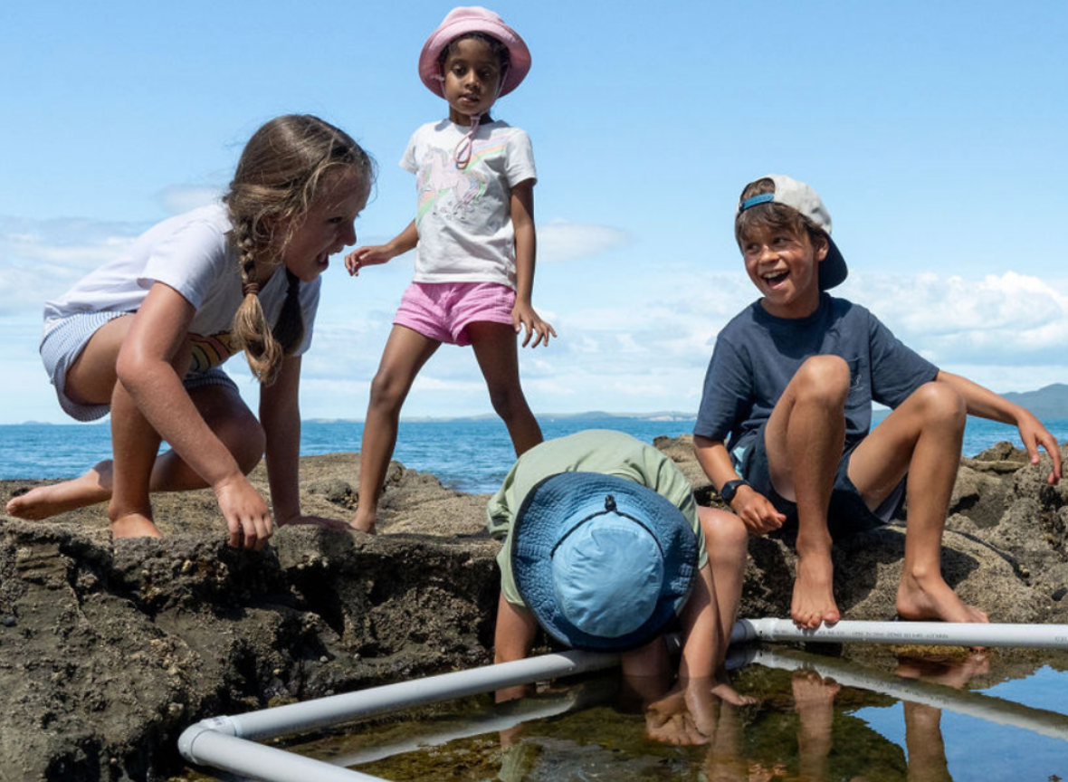
Rocky Shore Marine metre2 Survey >
Identify and count the marine animals and plants in a metre2 area on the rocky shore. Suitable for all levels.
Learn more
Sandy and Muddy Shore Transect Survey >
Transect surveys are used to investigate changes in the sandy/muddy intertidal community from the low to high tidal zone. Suitable for senior secondary and tertiary students. Learn more
Rocky Shore Transect Survey >
Transect surveys are used to investigate changes in the rocky intertidal community from the low to high tidal zone. Suitable for senior secondary and tertiary students. Learn more